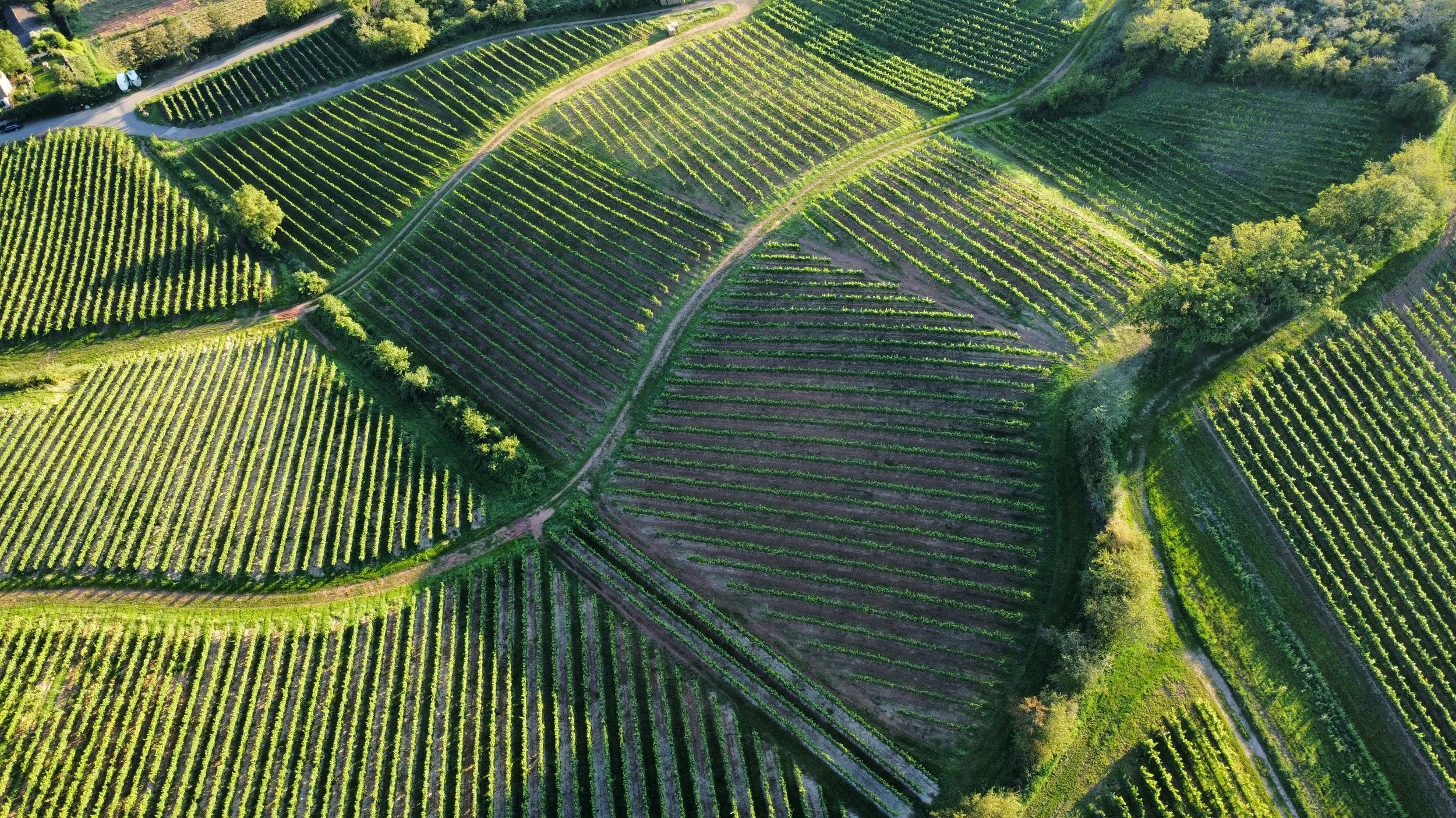
Vineyard Mapping
Effective mapping allows for targeted, data-driven management decisions instead of uniform approaches.
Mapping establishes your vineyard's digital foundation, which can then be enhanced with realtime sensor data and imaging surveys throughout the growing season - from first bud to harvest.
Benefits
Precision Management:
Target interventions to specific areas based on their unique characteristics
Resource Optimisation:
Allocate resources where they're most neededImproved Planning:
Make informed decisions about replanting, infrastructure changes, and vineyard expansionEnhanced Record-Keeping: Maintain detailed digital records of vineyard development over time
Operational Efficiency: Streamline workflow with clear location references for all vineyard activities
Value Demonstration:
Document vineyard assets comprehensively for financial and succession planning
Join our early access partner programme
Receive discounted access to our innovative technologies and be among the first farms in Tuscany to experience how our solutions improve yield, quality and sustainability.


